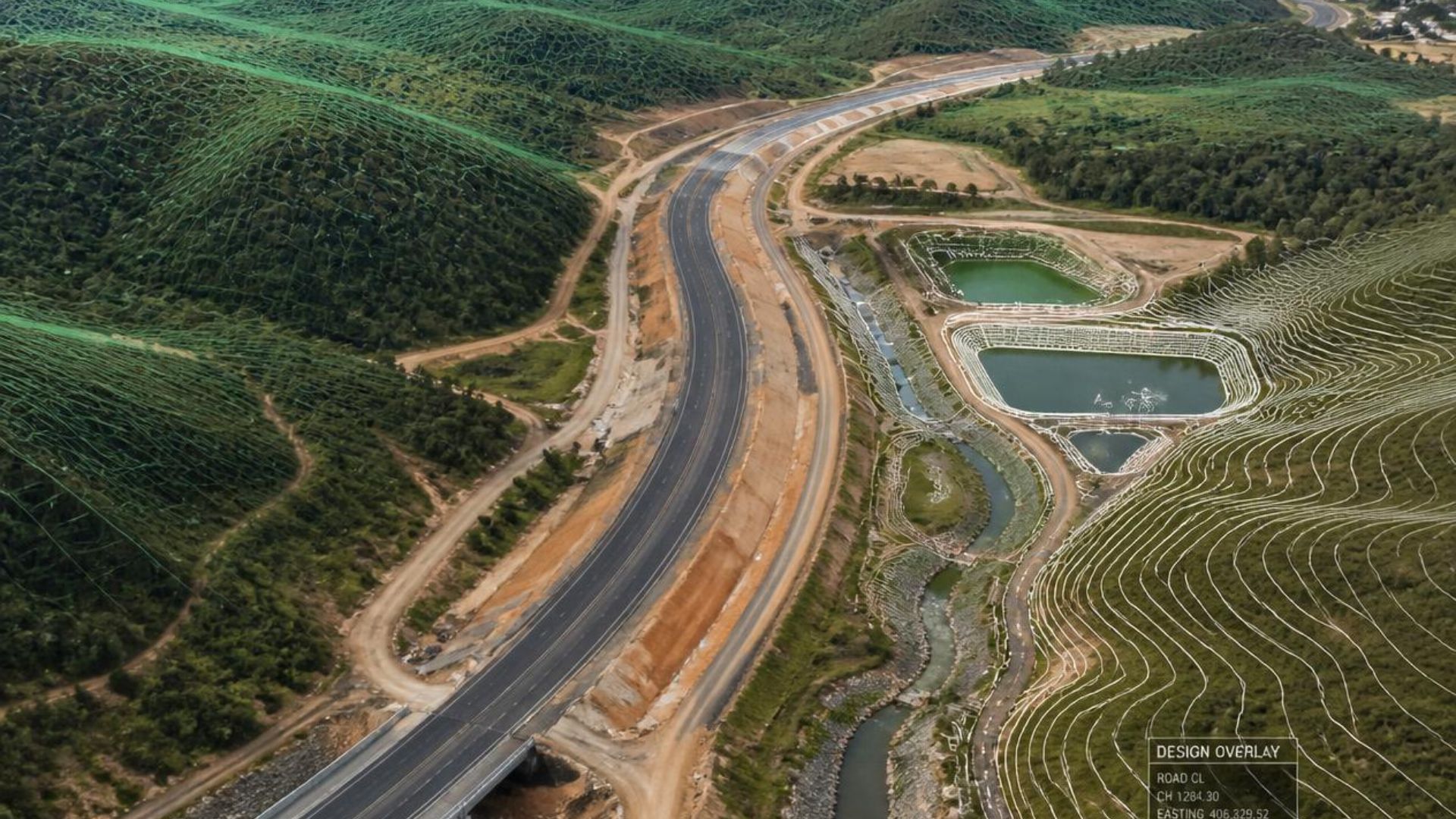
Civil 3D surface modeling is one of the most important components of modern civil infrastructure design. A well-developed surface model provides engineers, designers, contractors, and field teams with a shared understanding of existing site conditions and proposed design elements.
At Pollard CAD, Civil 3D workflows are developed around practical engineering technology experience, combining survey data processing, digital terrain modeling, drafting, and construction support.
Starting With Reliable Survey Data
Every successful Civil 3D surface begins with accurate field information. Survey data must be reviewed, organized, and prepared before it becomes a usable engineering model.
Typical survey preparation tasks include:
- Reviewing coordinate systems and project control information
- Cleaning and organizing field-collected point data
- Confirming appropriate point descriptions and elevations
- Identifying potential survey gaps or inconsistencies
The quality of the final surface depends heavily on the quality of the information used to create it.
Building Existing Ground Surfaces in Civil 3D
Civil 3D uses a triangulated irregular network (TIN) to represent existing ground conditions digitally. These surfaces form the foundation for grading plans, corridor models, quantity calculations, and design coordination.
Important components of a reliable surface model include:
- Survey points and elevation data
- Breaklines representing important terrain changes
- Surface boundaries and data limits
- Contour generation and surface verification
Proper surface development requires more than simply importing points. Understanding how terrain behaves in the field is essential to creating a model that represents real conditions.
Field Perspective
A successful Civil 3D surface is not just a digital drawing element. It is a communication tool connecting surveyors, engineers, contractors, and the field teams responsible for constructing the project.
Supporting Design Development and Construction
Once an existing ground surface has been developed, Civil 3D provides the framework for creating design solutions and construction documents.
Surface models support:
- Grading and drainage design
- Road and corridor modeling
- Profiles and cross-section development
- Cut and fill calculations
- Construction drawing production
Accurate models help improve communication between engineering teams, contractors, and owners by providing a clear representation of both existing and proposed conditions.
Why Field Experience Matters
Civil 3D is a powerful design platform, but successful project delivery requires understanding how digital models relate to real-world construction conditions.
Practical experience in surveying, construction support, inspections, and project coordination helps identify issues before they become problems in the field.
At Pollard CAD, engineering technology services are built around the connection between accurate digital models and practical implementation.
Conclusion
Civil 3D surface modeling provides the foundation for efficient, accurate, and constructible infrastructure design. From initial survey processing through final documentation, quality digital terrain models support better decisions throughout the project lifecycle.
Pollard CAD supports engineering firms, contractors, municipalities, and developers with Civil 3D drafting, survey processing, infrastructure modeling, and technical documentation services.
Explore Civil 3D Services